Make Cool Maps Easily with MapChart App! 🌎
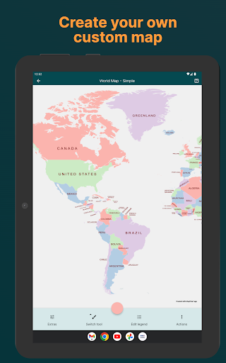
MapChart, the #1 map-making website, is now an app! Perfect for anyone who loves coloring maps, learning geography, or exploring history and fantasy maps.
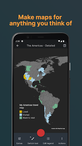
Whether you're into making your own fantasy worlds, alternate history maps, or just want to visualize your data, we've got you covered:
· Maps to Choose From:
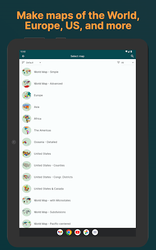
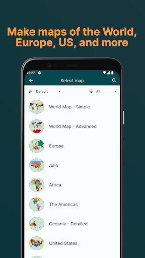
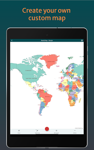
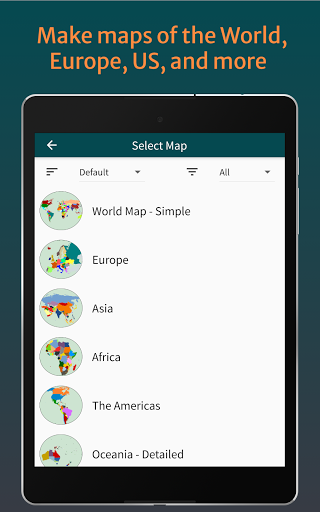
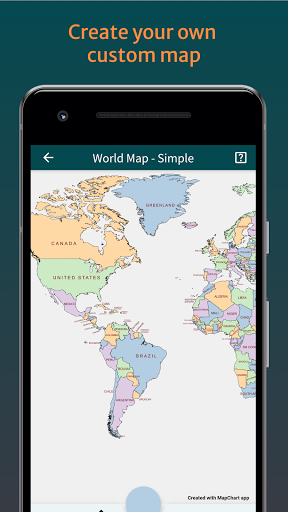
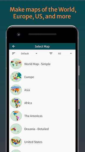
· World maps 🗺️
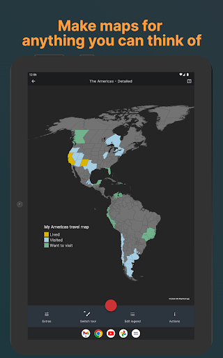
· Europe, Africa, the Americas, Asia, Oceania 🌏
· USA states/counties/congressional districts 🇺🇸
· Subdivision maps: counties, provinces, and more 🏙️
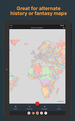
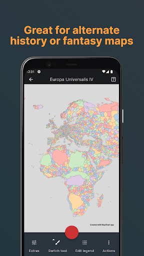
· Video game maps: Hearts of Iron IV, Victoria 3, and EU IV 🎮
· Historical maps: 1815, 1880, 1914, 1938, World War I, World War II ⚔️
· Single country maps: UK, Italy, France, Germany, Spain and 20+ more 🗾
· Fantasy maps: Westeros and Tamriel 🐉
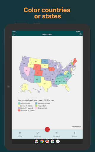
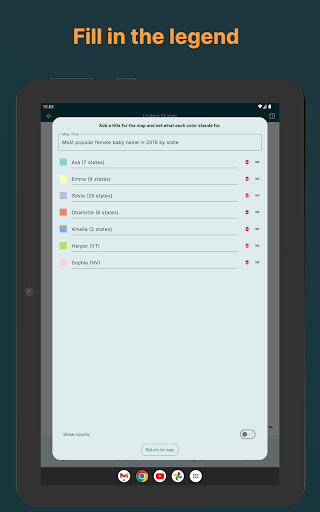
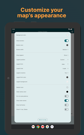
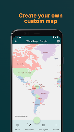
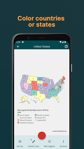
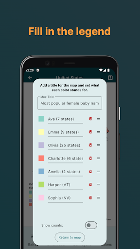
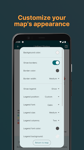
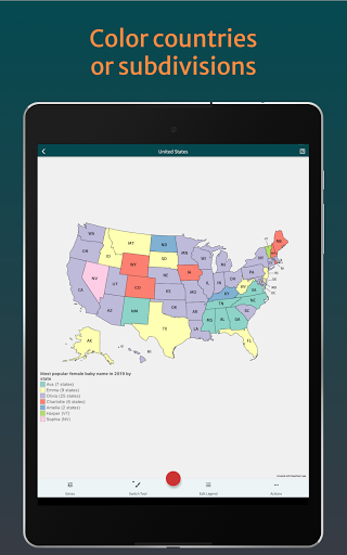
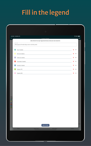
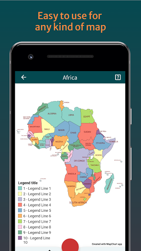
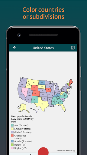
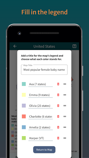
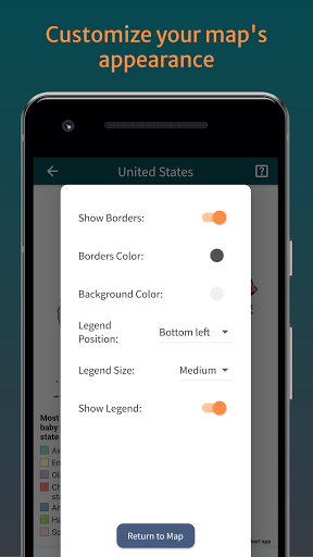
· Color your World: Pick your favorite colors and start painting your map. Add a legend to the map, change its background, or use patterns. Easy and fun!
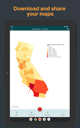
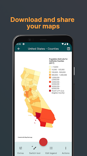
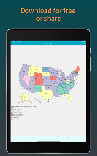
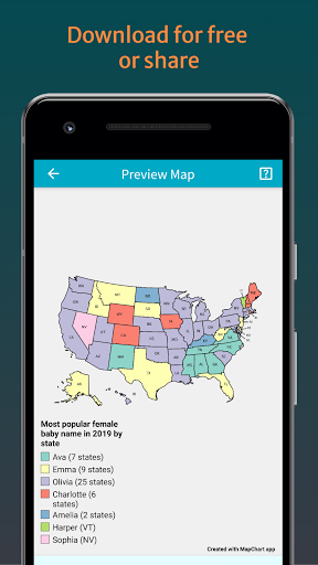
· Share with Friends or Save: Once you’re done, show it off on social media or download it to use in your projects, blogs, or just to have it.
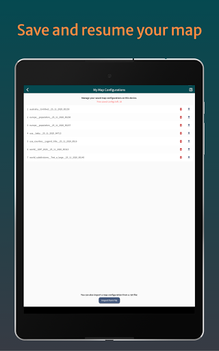
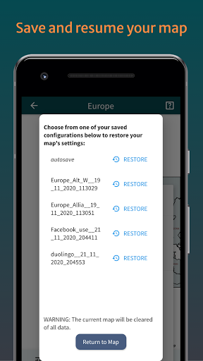
· Save and Load your maps: Made a map you’re proud of? Save it on your device and come back to it anytime.
· Premium versions with a one-time purchase. Enjoy a dark theme, unlimited saved maps, endless palette colors, exclusive map themes, app icons, and an ad-free experience.
· Cool Features Just for You:
· Pick from a massive list of maps, from big areas to special niches.
· Intuitive map coloring for anyone to try.
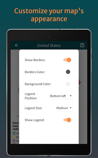
· Customize your map to make it uniquely yours.
· Save your creations and show them off anytime.
· Works offline.
Whether you’re a fan of geography, dreaming up an alternative world, or just want to map out your adventures, MapChart makes it simple and fun. Perfect for school projects, personal hobbies, or just for fun.
Start your map-making adventure with MapChart today and bring any map you can imagine to life!
- Europe NUTS2 and NUTS3 maps: updated Portugal's ?? regions with the latest changes (NUTS2 source, NUTS3 source).
- World subdivisions/Africa detailed: added Songwe region to Tanzania ??, added South Ethiopia Regional State and Central Ethiopia Regional State to Ethiopia ??.
- You can now split the legend into 3 columns.
- New Script for the world subdivisions map.
- World subdivisions/Europe detailed: fixed borders of North Savonia, South Savonia and North Karelia in Finland ??.
- World subdivisions/Asia detailed: added Arauro island to subdivisions of Timor-Leste ??.
- World subdivisions: merged Las Palmas and Santa Cruz de Tenerife into Canary Islands in Spain ??.
- Hearts of Iron IV States map: removed an invalid element named Zambia from the map.
Bug fixes.
- The US Congressional districts map is now fully updated for the upcoming elections (119th Congress). You can also switch to previous maps and make comparisons.
- Various map fixes. Check the changelog for more details.
- Various UI improvements for landscape mode. Moved things around to make it easier to use and edit your map when you rotate your device.
- You can now sort the map selection list by the most recently used maps.
- UK/Ireland counties: Fixed border gaps.
Minor fixes.
Improved the MapGame preview.
Fixed an issue where some configurations were not loading properly.
Google Play API updates.
Bug fixes and improvements to maps. Check the Changelog for details.
- Europe detailed: remade the whole map to be displayed in the Robinson projection, similarly to the other detailed maps. Fixed all gaps between borders, added new subdivisions, and fixed some names. Check the Changelog for more details.
- World subdivisions/Africa detailed: added South West Ethiopia Peoples province to Ethiopia and Chobe and Ngamiland districts to Botswana.
- US counties: fixed borders between Prince Wales-Hyder and Petersburg census areas in Alaska.
- Africa detailed: fixed all gaps between subdivision borders.
- World subdivisions/Africa detailed: added North Western province in Sierra Leone, fixed borders of Dubréka and Conakry in Guinea and borders of Bengui and Ombella M' Poko in Central African Republic
- World subdivisions: fixed borders of counties in Croatia.
- Americas detailed: fixed an issue with the Great Lakes not being displayed on the map.
- Japan: fixed names of Kochi and Oita prefectures.
- ⚡️ Scripts! You can now use Scripts to quickly color or get data from a map. For example, use the Random Color script to quickly color a map with random colors. Find them in the map editor, using Actions > Scripts.
- Converted all names of municipalities in the Mexico ?? map to display their state's ISO code instead (e.g. San_Dimas_MX10026 -> San_Dimas_DUR).
- A new Mexico map is now available, featuring all 2,547 Mexican municipalities!
- In the Options, you can now choose to hide the banner that appears when switching tools.
- Fixed a positioning issue with the banner that appears when switching tools.
- World map with microstates: fixed placement of Chile's label.
• Updated the app's UI design.
• You can now search for a map in the Select map screen.
Happy New Year! Best wishes to you and your loved ones!
- You can now show county names in the UK historic counties map.
- Map fixes and improvements. Check the Changelog screen for more details.
• Fixed issues with the provinces of Khovsgol, Santarem, Maranhao in the Europa Universalis IV map.
• Minor bug fixes and improvements.
• Fixed an issue with some saved maps not loading.
• Fixed an issue with autosaves.
• World 1914 map: fixed a typo in Anglo-Egyptian Sudan.
• Updated the Netherlands municipalities map with all the recent mergers and splittings of municipalities.
• Updated the borders of Iran provinces in Asia Detailed and World subdivisions maps.
• HoI IV map: fixed Diyarbakir and Malatya.
• EU NUTS3 map: added PL424 (in Poland).
• Asia map: fixed Bhutan label.


